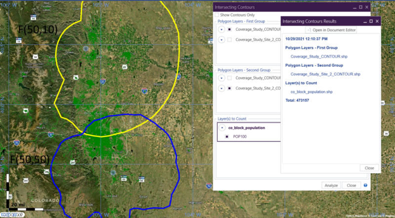
Public Safety Communications
TAP is widely used for TSB-88-type modelling of public safety communications systems used by first responders, such as police, firefighters, and rescue personnel.
Learn More
Microwave Path Design and Analysis
TAP7 includes numerous tools that can be used for the design and analysis of microwave systems.
Learn More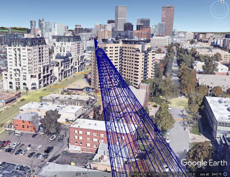
Point-to-Multipoint Systems
There are numerous applications that require the assessment of point-to-multipoint links, such as SCADA systems, smart meters, field area networks, base-remote subscriber configurations, and more.
Learn More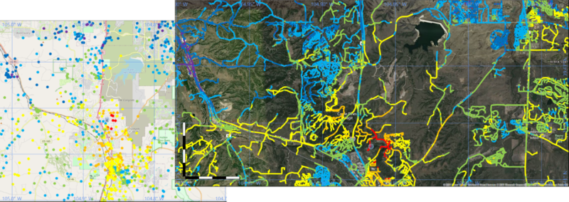
Air-to-Ground / Ground-to-Air
While TAP is most often utilized for the design and analysis of terrestrial links, it is also commonly used for air-to-ground and ground-to-air link topologies.
Learn More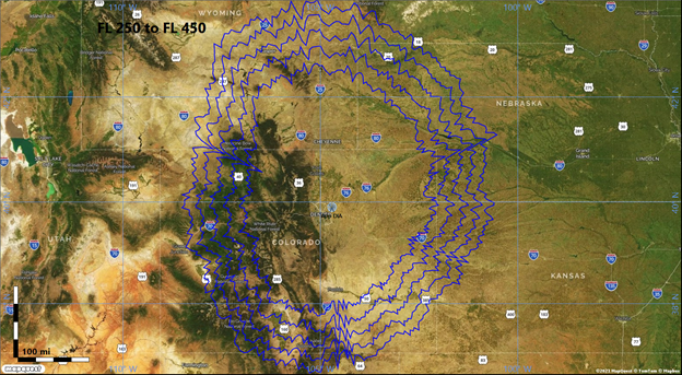
Clutter and Building Modelling
There are several ways in TAP to account for surface clutter, obstructions, and even building penetration losses.
Learn More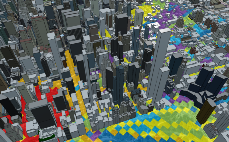
RF System Implementation
There are a number of tools and utilities within TAP designed to assist with RF system implementation issues, such as intermodulation and antenna pattern models.
Learn More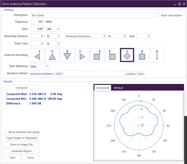
Regulatory Applications
For regulatory applications, there are multiple contour-generating models supported in TAP, including Carey (Part 22), Broadcast (Part 73), and Specialized Mobile Radio (Part 90).
Learn More