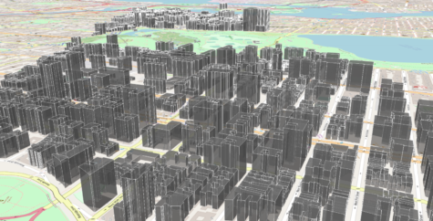
TAP users can acquire and customize building data using the TAP Mapper Obstructions tool. Many studies in urban and suburban areas could more accurately model the effect of buildings with the inclusion of vector surface features. Recall that TAP Mapper, which is the visualization tool provided with TAP 7, offers an Obstructions feature that may be used to acquire building data for inclusion in TAP 7 studies. A widespread global database of 3D buildings is available from Open Street Maps (OSM). However, it does not include every building or other structure (water tower, wind turbine, etc.) that may impact RF propagation.
Users can import OSM buildings for an area of interest and use the Obstructions tool to manually enter location and height information for known obstructions not available from OSM. The OSM and manual obstructions may then be saved together in a single surface feature shapefile for use in TAP path and coverage studies. For more information, click here or contact sales@softwright.com.