Field Strength Values
Q: I have done a coverage study over an area of interest, but how can I find the computed field strength at a specific location?
A: There are a couple of ways you can use TAP to find field strength at specific locations.
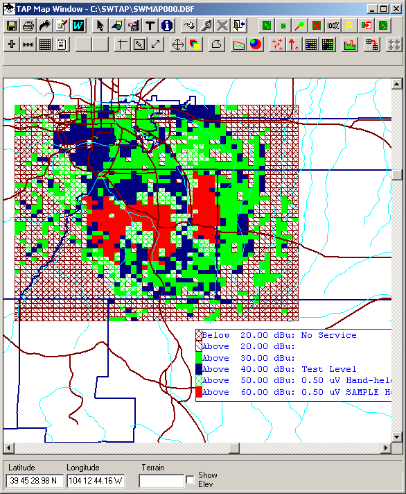
Using Computed Area Coverage
Once you have a coverage study computed and plotted, you can see the general areas of different field strength levels you have set:
To find the field strength at a particular location on the map, you can use the ID button.
On the toolbar at the top of the map, click the ID button (the blue octagon with the letter "i"):

The Show Object IDs form is displayed:
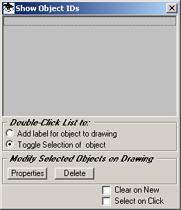
Be sure the two check boxes at the lower right corner are both cleared (no "x" or check mark in either of the boxes).
On the map, click the location of interest (shown as the "+" mark on the upper right corner of the red area in the sample below):
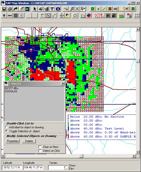
The ID form will display information about the location you clicked. In this example, it shows that the location is in Douglas county, and has a field strength of 60.l57dBu. If the computed field strength points are very close together (determined when you set up the study), more than one value may be displayed if the location you click is within a pixel or two of multiple points.
Using Field Preview Function
If you want to find a field strength at a point without computing an area coverage, you can use the Field Preview function.
This function enables you to specify a base station from the Fixed Facility database and click locations on the map to determine the computed field strength, one point at a time.
The illustration below shows the transmitter site circled in red, and the computed point circled in green:
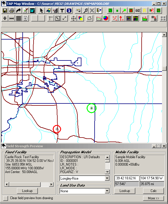
This function is described in the Field Preview FAQ.
Copyright 2003 by SoftWright LLC