We are pleased to announce that we have released Terrain Analysis Package (TAP™) 7.7.4 with several new features, including:
- Create custom land cover templates and colors. Users can now create customized land cover templates and color schemes for visualization in Path Profiles.
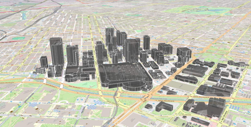
- CZML Export. Cesium (https://cesium.com/) is an open-source 3D environment that is gaining in popularity. Cesium is used in the 3D tab of the Mapper application. The Cesium 3D file format, comparable to .kml in Google Earth, is .czml. Users may now export files in 3D in .czml format. When using 3D buildings and obstructions, this is particularly helpful for including in the visualization of corresponding RF propagation results.