We are pleased to announce today that we have released Terrain Analysis Package (TAP™) 7.5.3. This release includes new features that are available to all licensed TAP users.
- Users can now run TalkOut-only and TalkBack-only area coverage studies to analyze transmit-only and receive-only communication systems.
- TAP Mapper provides much faster loading of large area coverage study result shapefiles.
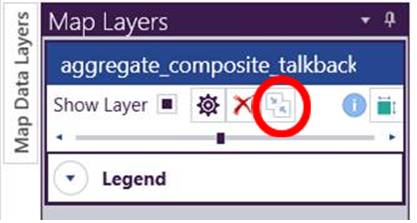
- TAP Mapper “Condense” utility reduces the size of large shapefiles for faster visualization, especially in 3D.
Click here to view a video describing the new features in TAP 7.5.3.
tap mapper Shapefile condense utility
Area coverage studies run at high resolution over large areas can produce shapefile results with a million or more polygons. Although TAP Mapper can load and display these coverage study results, they can be difficult to share because of the large file size. In particular, using the Mapper 3D layer export tool will generate a correspondingly large kml file having the same number of polygon shapes as the original shapefile. Many 3D viewers, including Google Earth, are unable to satisfactorily load and display a kml file with such a high number of polygons.
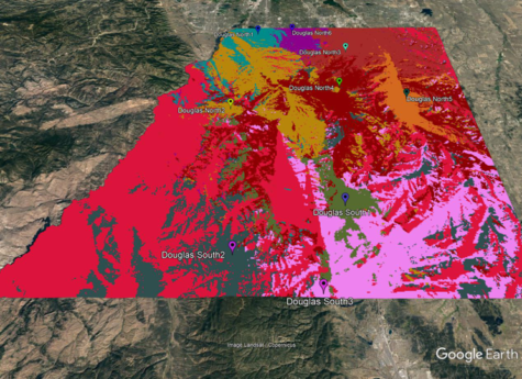
In this release, we have included a shapefile condense utility that is available for area coverage and aggregate coverage shapefiles. This utility exploits the fact that when styled for viewing, many adjacent polygons have the same color for our Value Range or Unique Value styles. By combining adjoining polygons of the same color into larger polygons, the total shape count is often reduced by one or two orders of magnitude. These “condensed” shapefiles can then be used to export a 3D kml file that looks just as good as the original, but with far fewer polygon shapes. The condensed aggregate coverage study in the above image has fewer than 20,000 polygons and looks just as good as the original, which contained over 200,000 polygons and could not be displayed satisfactorily in 3D.