Adding Layers to HDMapper™
Q: How do I add layers to the map?
A: HDMapper uses ESRI ShapeFiles for drawing the map. You can add any file in the standard ShapeFile format based on latitude-longitude coordinates.
Click the Add Layer button ![]() to add a layer to the map:
to add a layer to the map:
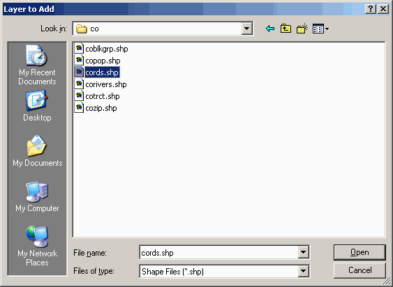
You can browse to any folder to find the ShapeFile you want to add:
The layer you select will be added to the map:
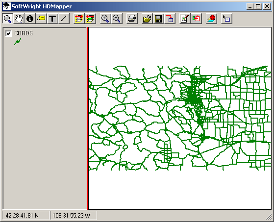
You can repeat the process to add more layers to the map:
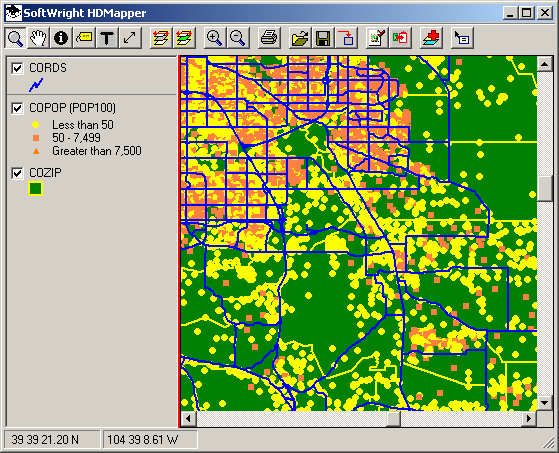
As shown in the example, you can change the colors for different layer features, including setting colors based on values in the ShapeFile database, and you can adjust the order of the layers and select which layers are visible. You can also add all the shapefiles from a folder at once, and you can remove files from the map.
|
|
Copyright 2004 by SoftWright LLC