Topo Data File Index Locations
Q: How can I see on a map where I have topographic elevation data?
A: With TAP version 4.5.974 systems with a Maintenance Subscription date of March 22, 2004, or later, you can draw the file locations from the topo data index.
TAP 4.5 and later uses an index of topographic data to manage what data is available for various TAP functions. Data files must be included in the index in order for TAP to use the elevation data.
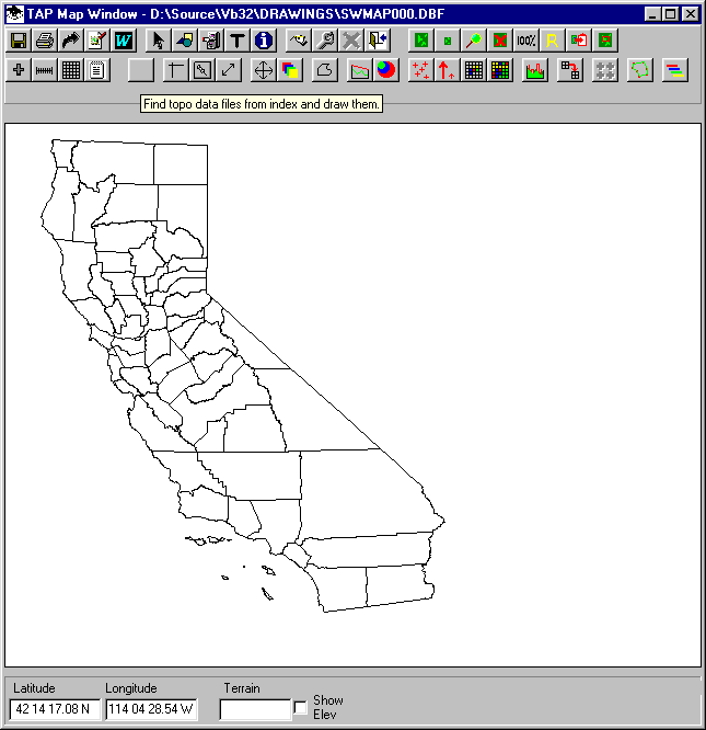
To show the data file locations found in the index, first draw a map of the area you are interested in. Then click the button for "Find topo data files form index and draw them" (this button does not have an icon).

A form will be displayed for you to select the area you want to search. The default values are the latitude and longitude limits of the currently displayed drawing.
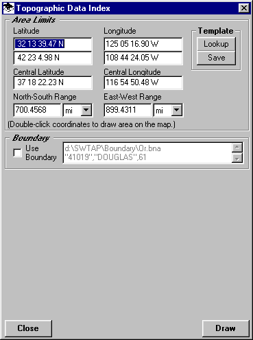
You can enter different coordinate limits manually, or you can double-click the coordintates to select the area with the mouse.
Click the Draw button when you have defined the coordinates you want to search.
The Layer Properties form will be displayed. In the Line Properties section, double-click the Color box to set the color you want to use to draw the file locations.
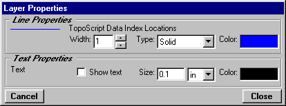
Click the Close button when you have selected the desired color.
The Topographic Data File Types form will be displayed. Check the boxes for the type(s) of data files you want to search for in the index:
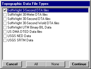
Click the Continue button when you have selected the desired type(s).
The program will search the topo data index and display the locations of the files on the map.
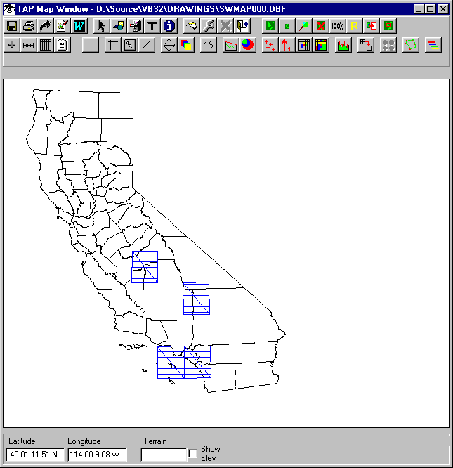
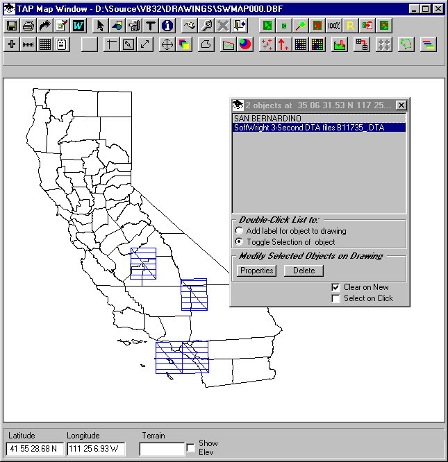
If you want to find the name of a file, use the ID button and click on the file. The name of the file and other objects on the map (such as a county name) at the location where you click will be displayed:
|
|
Copyright 2004 by SoftWright LLC