Q: The menu options in the FAQs are not the same as what I see on my QuickPath menu. How do I know which ones to use?
A: QuickPath is a specialized subset of the Terrain Analysis Package (TAP) software from SoftWright. TAP includes extensive radio system design functions, while QuickPath is focused on the topographic data functions for those who need only that part of the software.
The QuickPath menu is simplified to show only the pertinent options. When you select a menu item or the corresponding toolbar button, QuickPath uses the same functions that are a part of TAP. That means that once you get past the initial menu, the forms used for the various functions are the same as the ones shown in the TAP FAQs.
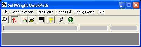
To find the elevation of a single point by entering the latitude and longitude of the point, use the "Point Elevation" menu, or the button on the toolbar with two red vertical arrows:
To draw a path profile by entering two end points of the path, use the "Path Profile" menu and select "New", or the button on the toolbar showing a path profile.
To open a path profile you previously drew and saved (either with QuickPath or TAP), use the "Path Profile" menu and select "Open", or the button on the toolbar showing a folder opening.
To create an ASCII file of elevation values for a rectangular area (as a .GRD file for plotting with SURFER, or as an X-Y-Z file for use with other software), use the "Topo Grid" menu, or the button on the toolbar with the grid icon.

To set the units you want to use for distance and elevation values, use the "Configuration" menu and select "Units", or the button on the toolbar with the two rulers.

To set the folder on your computer where the software should look for the topographic elevation data files, use the "Configuration" menu and select "Topo Data", or the button on the toolbar with the wrench icon.
Copyright 2002 SoftWright LLC