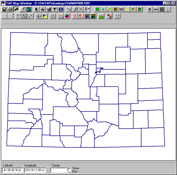
Q: How can I export my coverage map to a DXF file for use with other software?
A: The TAP Map Window includes an Export button (with a curved arrow icon):
When you click this button, the TAP Graphic Window Export form is displayed:
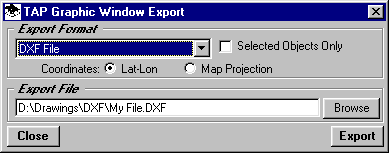
Use the pulldown list to select DXF as the export format.
If you want to export only certain objects on the drawing, first select the objects (with the ID button on the Map Window toolbar), then mark the "Selected Objects Only" box. If this box is not checked all objects on the drawing will be exported to the DXF file. Note that in TAP 4.5 and later, if you have a raster map image background for the map, the raster image is not exported to the DXF file.
Select the coordinates you want to use for the export. These should match the coordinate system of the drawing you want to import the DXF file into. Usually this will be the "Lat-Lon" option. If you export as "Map Projection" the units will be the units used for the map projection, usually meters from a center reference point on the drawing. In TAP 4.5 and later, if you have a raster map image background for the map, the units will be pixels based on the graphic image file.
Specify the name of the DXF file you want to save the image to and click the Export button to export the information to the DXF file.
Copyright 2002 by SoftWright LLC