BNA Files From TAP Databases
Q: How can I get my Fixed Facility and Location database locations into a .BNA file I can plot in SURFER?
A: You can use the Plot Database Locations function to create a BNA file from the Fixed Facility or Location database in TAP.
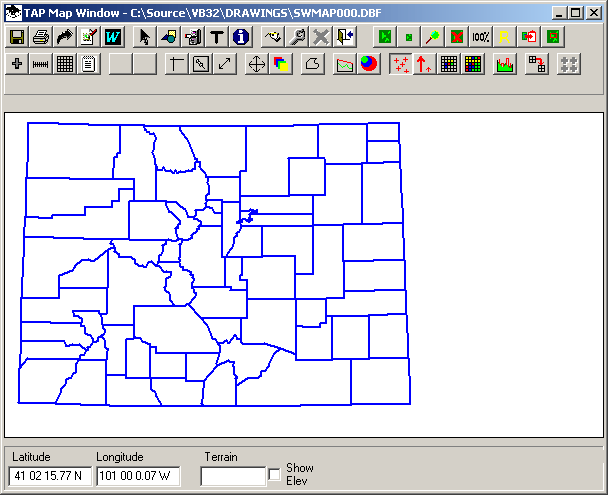
With a map of the area of interest displayed, click the "Plot Facility or Location Data" button:
The Plot Data Base Locations form is displayed.
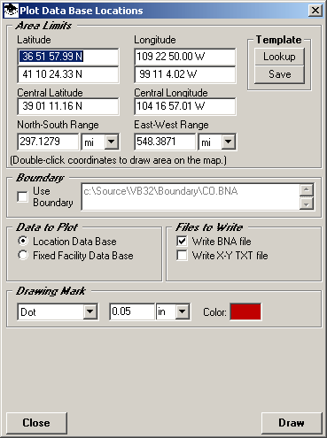
In the Area Limits section of the form, define the boundaries to use. The initial default limits are the limits of the map you have displayed. You can use the Template Lookup button to get limits you have previously defined from the TAP Area Templates. You can also double-click one of the coordinate boxes on the form to draw an area on the map and use the limits of that area.
If you want to use a boundary, such as a county, to define the limits, you can check the Use Boundary box and you will be prompted to select the .BNA boundary file and the object from the file to use to define the limits.
In the Data to Plot section of the form, select the database to use.
In the Files to Write section, mark the files you want to write. For a BNA file that can be used in TAP or SURFER or other applications, check the "Write BNA" box. (For SURFER posting files, the X-Y TXT file should be selected.)
You can select the mark to use on the map in the Drawing Mark section, although this will not affect the use of the creation of the BNA file
Click the Draw button to add the points to the map and write the desired file. You will be prompted for a file name to use:
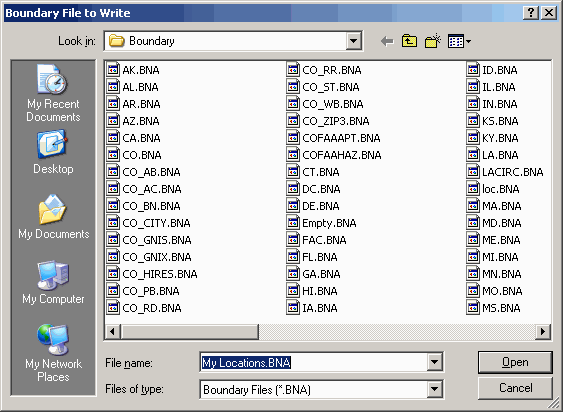
When the file has been created, you can use it in TAP by adding the file on the Map Plot Setup form. To use the BNA file in SURFER, add the file to a SURFER plot by selecting the file from the Map-Load Base Map menu.
Copyright 2003 by SoftWright LLC