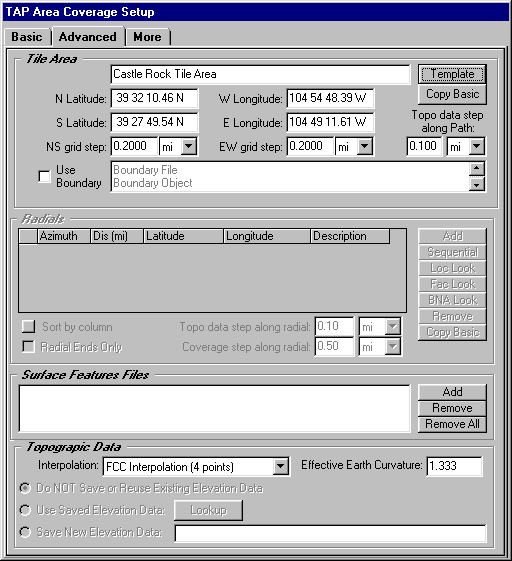
Q: What is the Use Boundary check box on some TAP forms?
A: With TAP 4.4 and later some TAP functions (such as the Area Coverage setup form's Advanced tab, and the Plot Data Base Locations form) allow you to define an area based on any "Area" object contained in a boundary (.BNA) file.
For example, on the Area Coverage Setup form's Advanced tab:
To define a tile area based on a boundary file, check the "Use Boundary" box
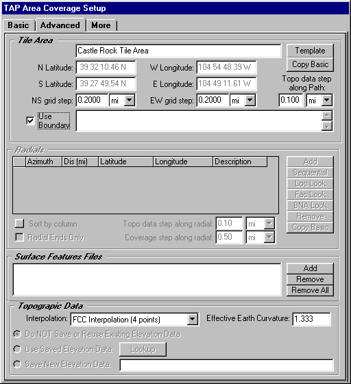
When this box is checked, a form is displayed to enable you to select the .BNA file and the area object in the file to use:
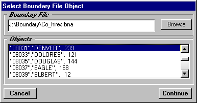
In the example, the Co_hires.BNA (Colorado high resolution counties) file has been selected. The Area objects in the file are listed, and you can highlight the object you want to use, in this example, Denver.
When the file and object have been selected, click the Continue button.
The selected file and object names are displayed on the form:
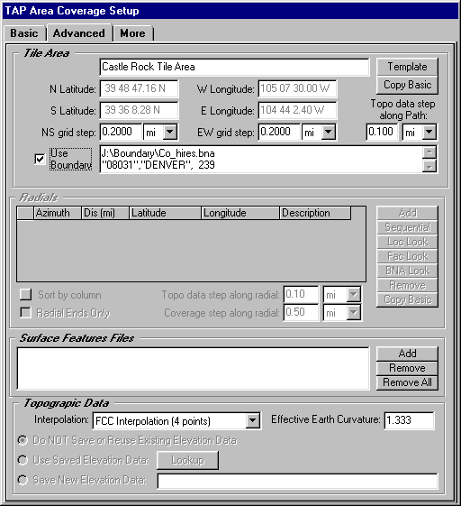
Note also that the text boxes for the latitude and longitude limit are updated to display the minimum and maximum limits of the selected boundary object. These boxes are disabled so you cannot edit the values while the Use Boundary option is checked.
Copyright 2001 by SoftWright LLC