Target Point Study Import
Q: How can I import several thousand coordinate locations that I want to use for computing field strength values in TAP?
A: The Target Point study in HDCoverage enables you to compute field strength to discrete points.
Note that all values in this example are for demonstration purposes only. You should determine appropriate settings for your application.
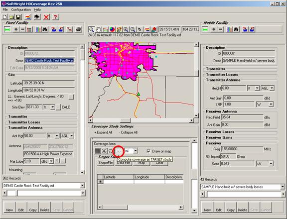
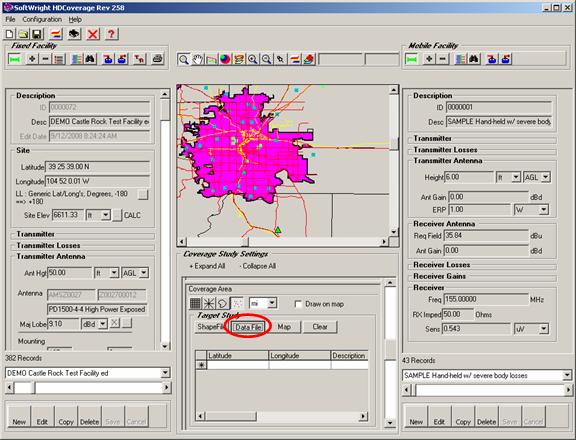
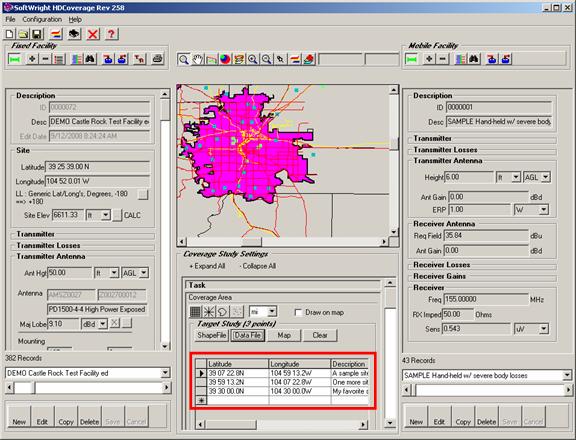
For example, suppose you have the Fixed Facility base station and the Mobile Facility records selected in HDCoverage. In the Coverage Area section below the map, click the Target Study button.
You have several options for adding target points to the list, using the buttons in the Target Study section:
· The “Shapefile” button will prompt you for a shapefile (.SHP) to open, and the latitude and longitude values of objects contained in the shapefile will be added to the list. For Point type shapefiles, there will be one point added for each of the points in the shapefile. For Line and Polygon type shapefiles, latitude-longitude values will be added for all points in the file, such as all the end-points for line segments for roads, or all the polygon vertex points for a county.
· The “Map” button will cause the program to prompt you to click locations on the map on the HDCoverage form. You can click locations of interest, and the points will be added to the list. When you are finished adding points from the map, right-click on the map.
· The “Data File” button enables you to open an Excel .XLS file, or a comma-delimited .CSV file, or a dBase .DBF file to import values.
· You can enter coordinate information manually by going to the “*” row at the end of the list. When you begin typing in the “*” row, a new record is automatically appended to the list.
· Any combination of these methods can be used. New values will continue to be appended to the list.
· The “Clear” button can be used to remove all entries from the list. Individual rows can be removed by selecting the row and pressing the Delete button on your keyboard.
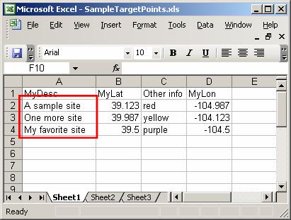
For example, suppose you have an Excel spreadsheet with site information:
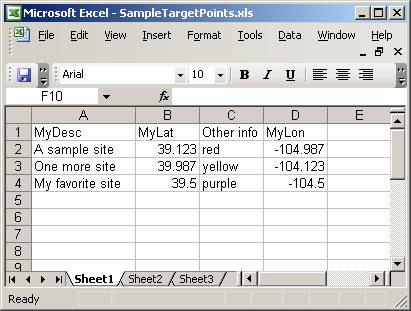
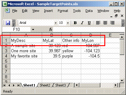
Note that the first row must have a unique description for each column in the file:
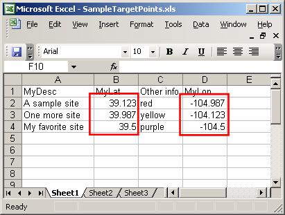
The Latitude and Longitude values for each site must be in decimal degrees (with negative values for West longitude and South latitude):
If descriptions for the sites are available, they can be included:
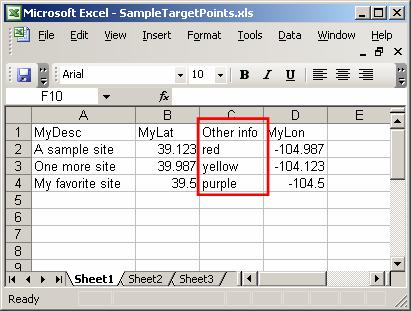
If the file contains other information unrelated to the use of the sites in TAP, that information will be ignored:
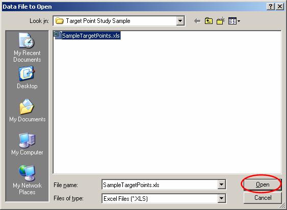
To load the file into the Target Study portion of HDCoverage, click the “Data File” button in the Target Study section:
Locate the file you want to use and click the Open button:
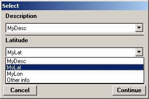
The file will be opened and the columns to be used for the Description, Latitude, and Longitude in HDCoverage must be selected:
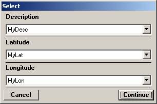
Use the pulldown list for each value to select the Data File column to use:
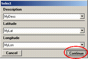
When the correct columns have been selected, click the Continue button.
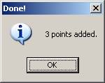
When the import is completed, a message will be displayed about the records imported:
The points will be displayed in the Target Point list:
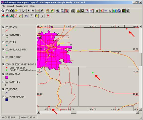
When you have added the points you need for the study you can run the study. The results can be displayed in HDMapper:
|
|
Copyright 2008 by SoftWright LLC