Quickly Checking Potential Paths
Q: What is the quickest way for me to determine if I have line of sight over a potential path?
A: HDPath™ is designed to work primarily with the TAP Fixed Facility Database. You can enter a potential site as new Fixed Facility record and view the path profile with a minimum of data entry.
For example, suppose you
want to check the path from the following sites;
DEMO Castle Rock site (an existing record in the Fixed Facility
Database)
39 25 39.00 N
104 52 0.01 W
Potential Site
39 40 41.00 N
104 51 50.00W
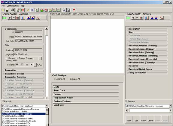
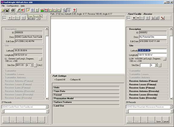
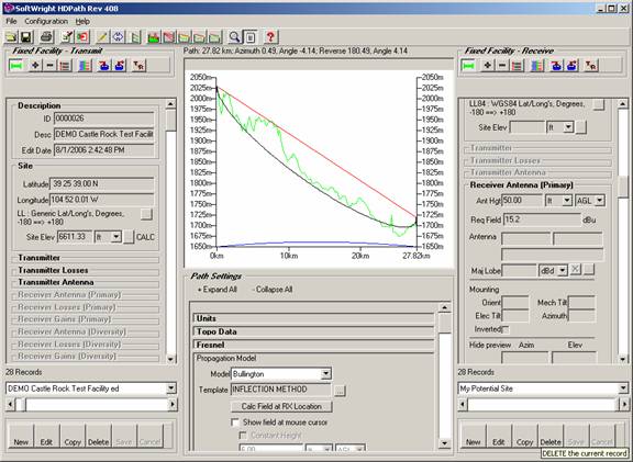
First, find the existing record in the Fixed Facility interface on the left side (Transmitter) of HDPath. Use the pulldown list near the bottom to find the facility you want:
On the right side (Receiver) of HDPath, click the New button near the bottom of the Fixed Facility interface to create a new record:
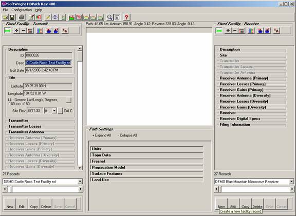
Click the Description and Site labels to expand those sections. Enter a description for the site:
Entering a description is not essential, but it is a good habit to form with TAP. If the site proves to be useful, having the description entered now will avoid the problem of forgetting later and not being able to easily identify the site.
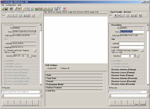
Enter the coordinates for the site:
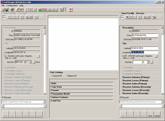
While you are entering the coordinates, the pencil icon on the toolbar near the top of the HDPath form is disabled. When you have entered the coordinates and move the mouse cursor out of the coordinate box, the pencil icon is enabled. Click the button to draw the path:
When the Draw button (the pencil icon) is clicked the path is drawn.
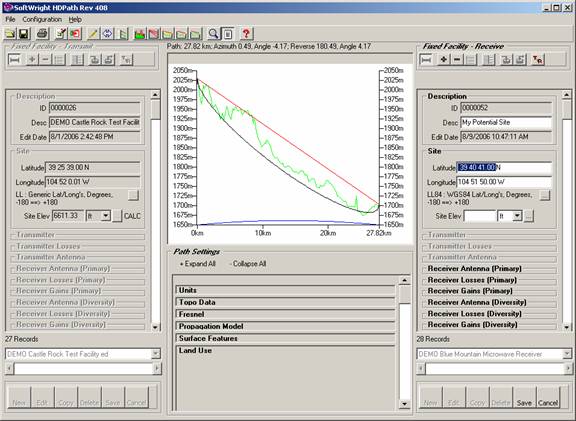
The profile graphic shows the path with the minimum information that has been entered (only the coordinates). Since no receive antenna elevation has been entered, the path is shown drawn from the transmit antenna at the existing site (Castle Rock) to a point on the ground at the potential site.
At this point, you can decide if this path will or will not be usable.
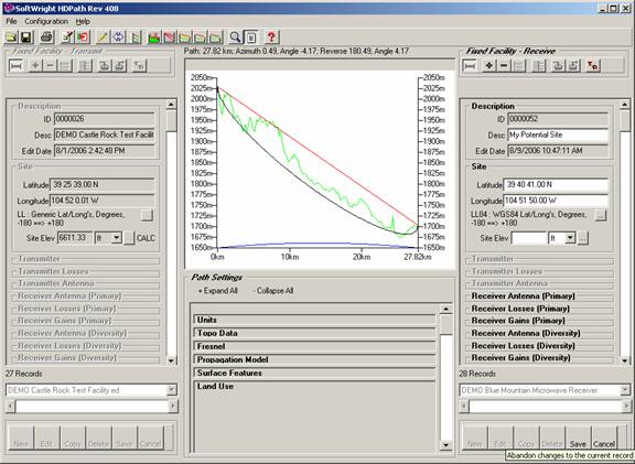
If the path is of no interest you can click the Cancel button near the bottom of the Receiver Fixed Facility interface. The new record will be abandoned and not saved to the data base.
If the path appears that it may suit your purpose you can continue to add information (such as antenna height, receiver specs, etc.) and use the Save button to save the new record to the database:
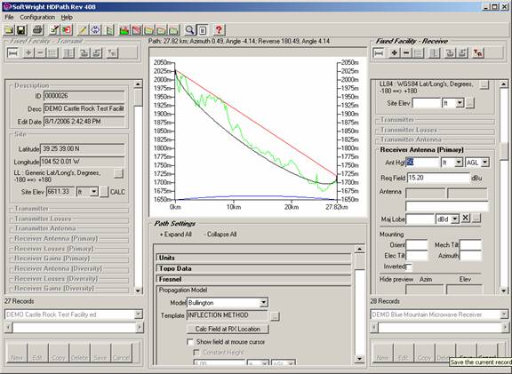
You can continue to use the Draw button to update the graphic as you make changes.
Note that for some functions, such as computing the field strength at the receiver location or computing a link budget you must save the record.
After saving the record, if you decide that the path is not suitable and you want to remove the record for the potential site from the database, use the Delete button near the bottom of the Receiver Fixed Facility interface:
|
|
Copyright 2006 by SoftWright LLC