Elevation Values for HDMapper™ Tile Studies
Q: How can I find the elevation of points in HDMapper?
A: Tile studies computed in TAP and plotted in HDMapper include the elevation at each of the tile locations. You can find the values using the Mouse Tips function or the ID Function.
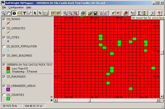
For example, suppose you have computed a Shadow Study and plotted it in HDMapper:
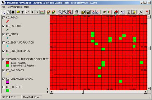
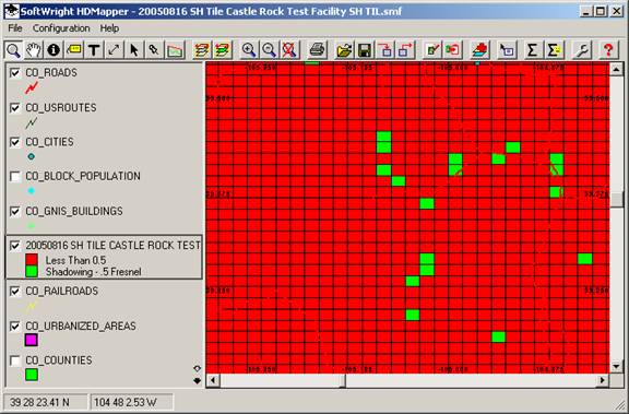
Select the coverage layer for the shadow study by clicking on the layer in the legend to the left of the map:
ID Function
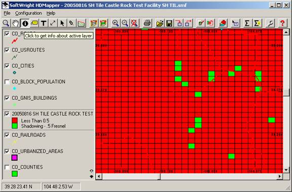
With the coverage layer selected as the “Active” layer, you can click the ID button on the toolbar:
With the ID button selected, you can click a tile on the coverage study and the shapefile database value for that tile is displayed:
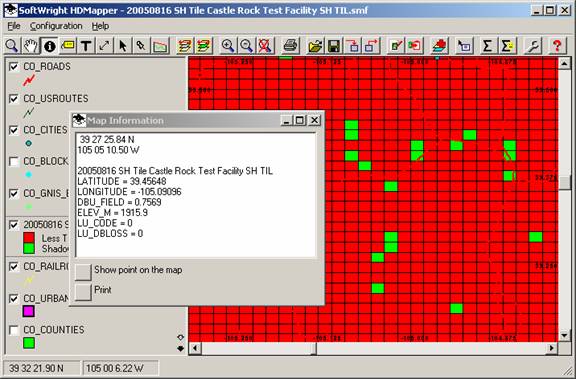
The “ELEV_M” field is the point elevation in meters. (Note that for shadow studies, the field named "DBU_FIELD" actually contains the shadow ratio for the point.)
Note that the elevation is for the center of the tile, where the coverage (shadow ratio or field strength) was computed. For large tile areas in rugged terrain, the elevation values may vary considerably within the tile. The elevation value reported is always the center of the tile.
Mouse Tip Function
You can also select the Mouse Tip function to get the elevation values:
When you click the Mouse Tip button on the toolbar, you will be prompted for the field name you want to display as the Mouse Tip:
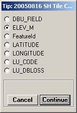
Select the “ELEV_M” field for the elevation in meters, and click the Continue button to close the form.
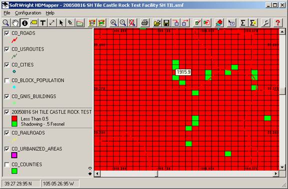
Now when you move the mouse over the coverage area, the elevation value will be displayed:
|
|
Copyright 2005 by SoftWright LLC