Q: How do I add the locations of my facilities on a coverage map drawn in SURFER?
A: SURFER has a function called "Posting" that allows you to read a comma-delimited ASCII file with Longitude, Latitude, and a description, to mark points on the drawing. You can export the information from the TAP Fixed Facility or Location database to create the ASCII file for use in SURFER.
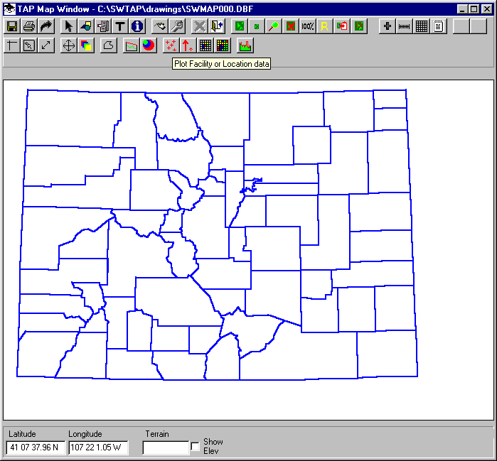
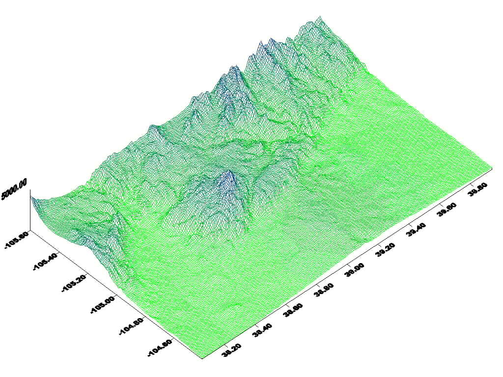
First, in TAP, draw a map of the area that includes the sites you want to export to SURFER:
On the Map Window toolbar, click the button with several red cross marks. This will display the Plot Data Base Locations form:
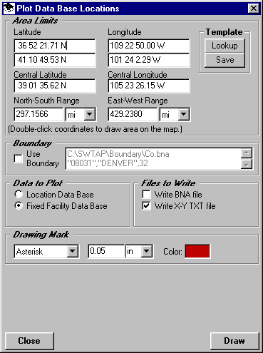
This form enables you to define a rectangular area and draw the locations on the map from either the Fixed Facility data base or the Location data base. You can also write the information to a BNA boundary file or an ASCII text file.
In the Area Limits section of the form, define the boundaries to use. The initial default limits are the limits of the map you have displayed. You can use the Template Lookup button to get limits you have previously defined from the TAP Area Templates. You can also double-click one of the coordinate boxes on the form to draw an area on the map and use the limits of that area.
If you want to use a boundary, such as a county, to define the limits, you can check the Use Boundary box and you will be prompted to select the .BNA boundary file and the object from the file to use to define the limits.
In the Data to Plot section of the form, select the database to use.
In the Files to Write section, mark the files you want to write. For SURFER posting files, the X-Y TXT file should be selected.
You can select the mark to use on the map in the Drawing Mark section, although this will not affect the use of the X-Y file in SURFER. You can edit the characteristics of the points to be plotted when you add the file to SURFER.
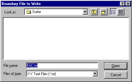
Click the Draw button to add the points to the map and write the desired files. You will be prompted for a file name to use:
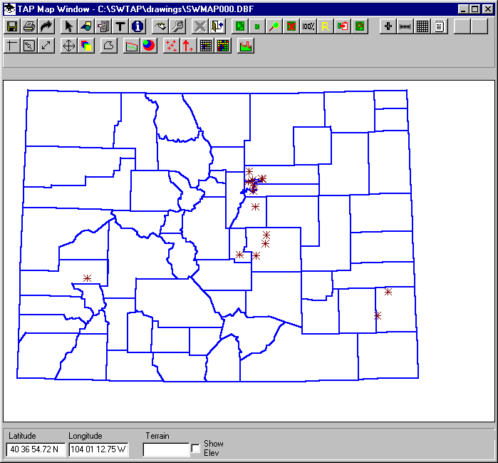
The points will be added to the map. Click the Close button on the Plot Data Base Locations form.
Close the Map Window.
Open the drawing of the area in SURFER
In the SURFER Map menu, select Post, and select the file created in TAP. On the SURFER form for defining the posting parameters, be sure the "Label" is defined as "Column C", the third column in the file that TAP wrote. (If you only want to show the locations without labels, leave the label selection set to "None".
When the points are imported, another drawing will be superimposed, but not aligned with the original map in SURFER:
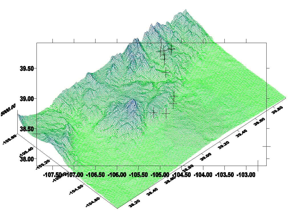
To align the two maps together, use the Edit menu to Select All. Then in the Maps menu, select Overlay Maps.

If necessary, use the Map menu and select Edit Overlays, then select the Post layer and "Move to Front" to get the marks on top of the map.
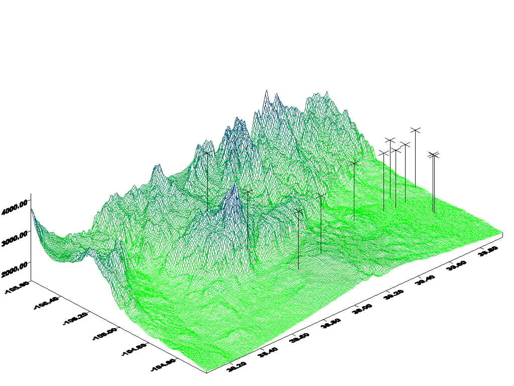
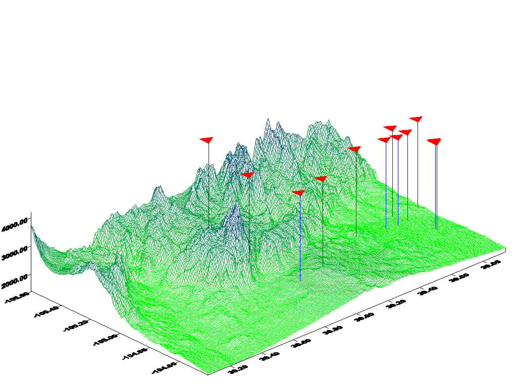
SURFER also has functions to change the colors, symbols, line height, etc., for the posting points:
Copyright 2001 by SoftWright LLC