Importing ShapeFiles to BNA Format
Q: How can I use boundary information that is in the ESRI ShapeFile format in TAP?
A: With TAP 4.5.959 systems with a Maintenance Subscription date of January 31, 2004, or later, ShapeFiles (.SHP) can be imported into the .BNA format, which TAP uses.
ShapeFiles are available from various government and private sources. Searching the Internet for "ShapeFile" and the feature you are interested in (such as "ZIP codes") is often a good place to start. (Note that this import function currently supports ShapeFiles that have the X and Y values in Longitude and Latitude. Other coordinate systems, such as state plane coordinates or UTM coordinates are not currently supported.)
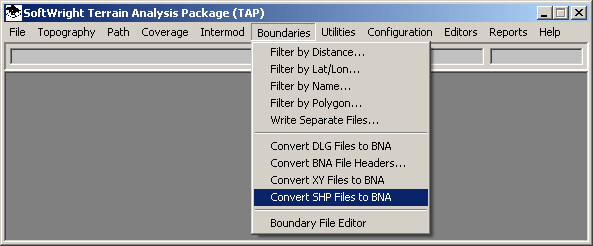
From the main menu in TAP, select the Boundaries menu and click the "Convert SHP Files to BNA" item:
You will be prompted for the ShapeFile you want to import:
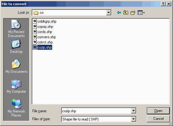
Select the file you want and click the Open button.
You will next be prompted for the field from the database associated with the ShapeFile that you want to use for the description of each object in the boundary file.
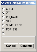
Select the field you want to use and click the Continue button. The actual fields displayed will depend on the contents of the ShapeFile you are using. Some ShapeFiles can have dozens (or more) of fields associated with the ShapeFile information.
Next you will be prompted to enter the name of the boundary (.BNA) file you want to write:
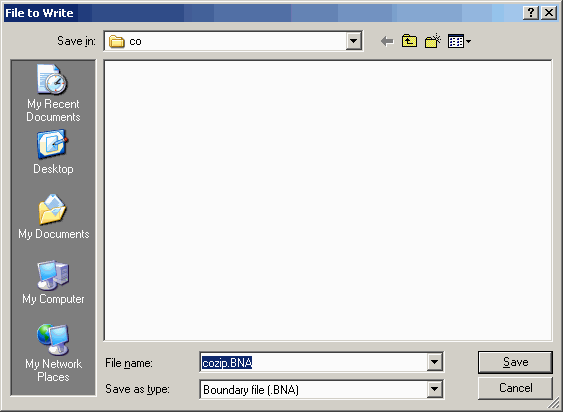
Enter the boundary file name you want to use and click the Save button. If the file already exists you will be prompted with a dialog box asking if you want to overwrite the file.
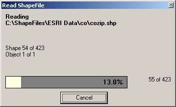
Depending on the size of the ShapeFile, you may see a dialog box displaying the progress of the import process:
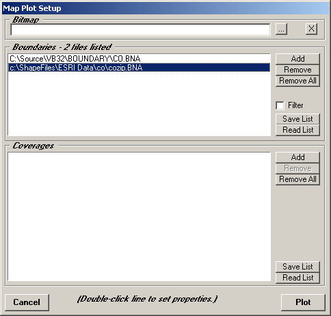
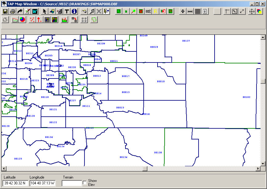
When the import is complete, you can use the new boundary file in the TAP Map Window just as you use any other BNA file:
Copyright 2004 by SoftWright LLC