Transparent Layers in HDMapper™
Q: How can I show my county lines above my coverage layer without covering up the coverage?
A: You can make the county line (or other polygon shapefile) layer display with a transparent fill.
Note that all values in this example are for demonstration purposes only. You should determine appropriate settings for your application.
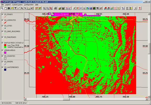
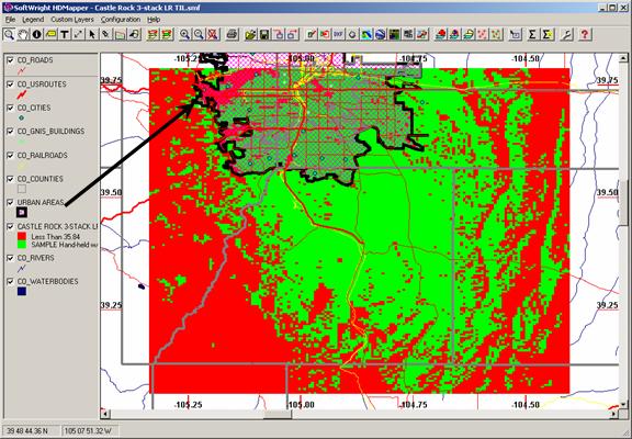
For example, suppose you have a Tile study displayed as shown:
You can drag the County layer upward in the legend to a position above the coverage layer:
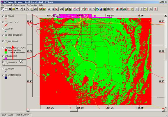
But that results in the opaque county layer covering the coverage layer.
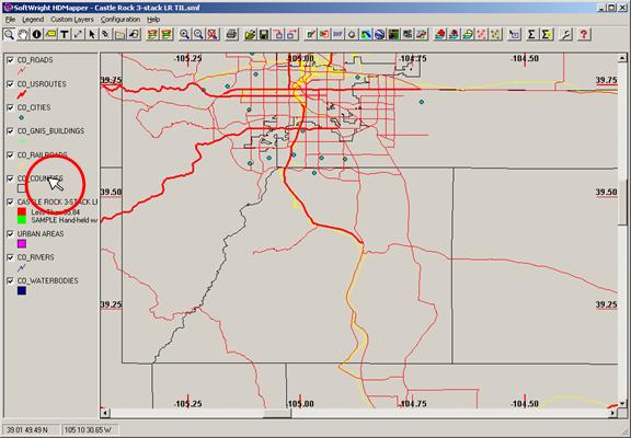
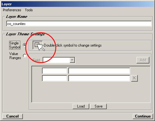
Double-click the County layer in the legend:
When the Layer form is displayed, double-click the symbol for the layer:
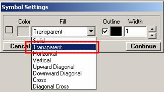
On the Symbol Settings form, use the Fill pulldown list to select “Transparent”
Be sure the Outline box is checked. You can double-click the color box to set the color for the county lines, and you can change the width to make the lines wider.
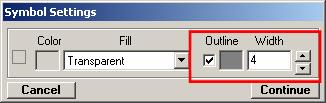
Click the Continue button on the Symbol Settings form.
Click the Continue button on the Layer form
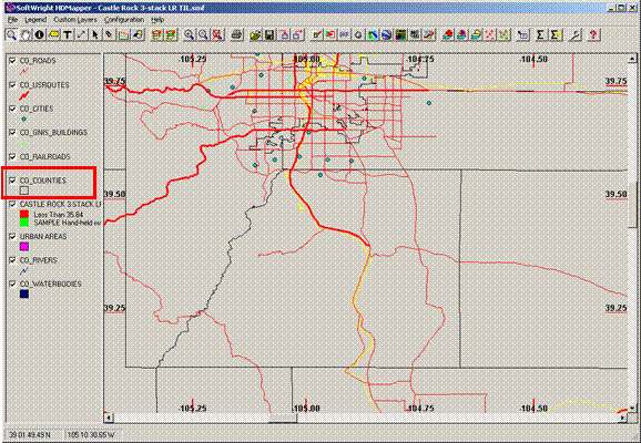
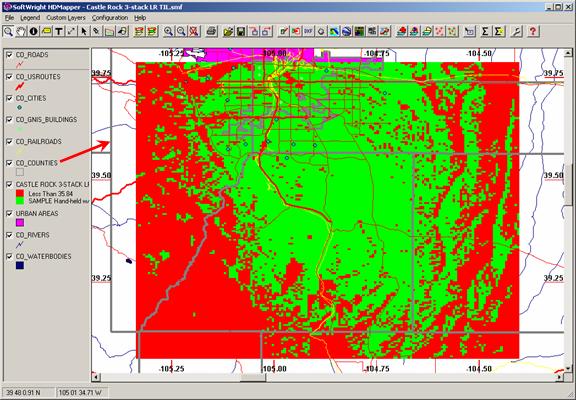
The County lines are now displayed above the coverage.
You may want to set other layers using a similar process. For example, on this map you could set thye “Urban Areas” layer to a cross hatch pattern to still see the coverage with the Urban Areas layer moved above the coverage layer.
|
|
Copyright 2009 by SoftWright LLC