HDMapper™ Detailed Street Files
Q: What are the detailed street files available for use with HDMapper?
A: The detailed street files available from SoftWright sales are standard shapefile format versions developed from the US Census “Tiger Files.”
Note that all values in this example are for demonstration purposes only. You should determine appropriate settings for your application.
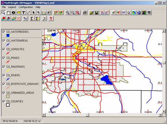
The TAP software includes basic shapefiles for mapping. For example, a typical map showing a portion of the Denver area is shown below:
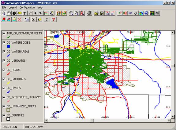
Adding a layer with the detailed street files for one county increases the amount of detail:
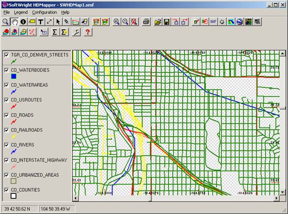
Zooming into the map enables you to see specific areas of interest:
The mouse-tips function in HDMapper can be used to identify specific streets or highways:
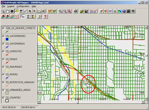
You can use the label function to identify specific streets (with the names contained in the shapefile).

|
|
Copyright 2008 by SoftWright LLC