HDMapper™ Coverage in Other Software
Q: How can I show a coverage map computed in TAP using another mapping program?
A: Since TAP6 creates shapefiles for coverage maps you can import the shapefiles (.SHP) into any other software that supports that format.
Note that all values in this example are for demonstration purposes only. You should determine appropriate settings for your application.
When you set up an area study in HDCoverage and draw it in HDMapper, the shapefile for the coverage layer is created and used when you draw that coverage in HDMapper. (You can also export image files, or files for use in Google Earth.)
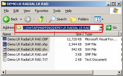
The shapefile is created in the MAPPING\MAP FILES folder, in a folder named the same as the Task Description you entered in HDCoverage:
Note that a “shapefile” actually consists of at least three files, with the .SHP, .SHX, and .DBF file extents.
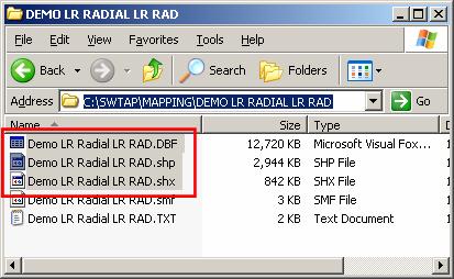
If you want to copy files to another folder to use with other software be sure to copy all three of those files. Making a copy of the files is recommended, since changes made to the files by other software may make them incompatible with using them again in TAP.
After you load the coverage shapefile into other software you may need to change settings for the color, symbols, etc., in the software. These settings for field strength levels, colors, etc., are usually handled automatically in TAP, and can be easily changed when using TAP. The shapefile for the coverage layer contains the locations and values of computed field strength, but not any information about your desired break points between field strength levels, what colors or symbols to use, etc. The details of making these settings in other software will depend on the software.
|
|
Copyright 2010 by SoftWright LLC