
Q: How can I plot the sites in my Fixed Facility data base on a TAP Map Window?
A: In TAP 4.3 and later you can plot the Fixed Facility or Location data base entries. You can select a particular rectangular area or boundary from a .BNA file and plot only the data base entries contained in the selected area.
(If you are using TAP6 or later, please see the article on TAP6 Facility Points.)
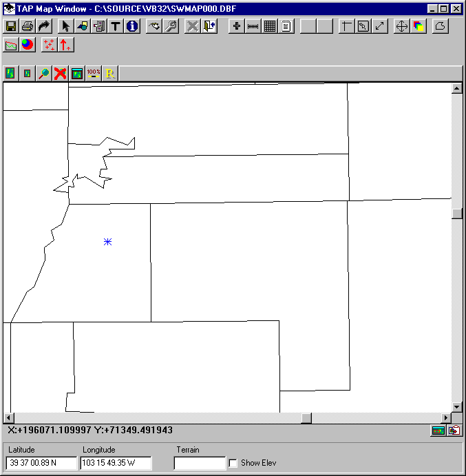
With the map displayed, click the Plot Facility button on the toolbar.
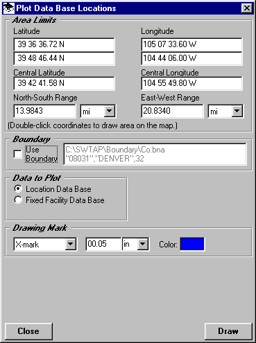
This will display the Plot Data Base Locations form to select the desired area. You can enter limits or double-click the coordinate limits to define the area on the map with the mouse.
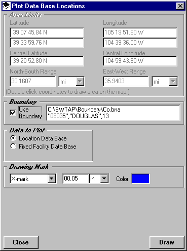
If you want to use a boundary in a .BNA file, check the "Use Boundary" box on the form:
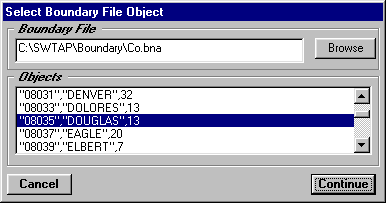
You will be prompted to select the .BNA file. After you select the file, all of the polygon objects in the file will be displayed and you can select the one you want to use:
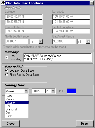
Select the symbol and color you want to use:
Then click the button for the data base you want to plot:

Then click the Draw button. The data base records in the specified limits or boundary will be added to the drawing:
Copyright 2000 by SoftWright LLC