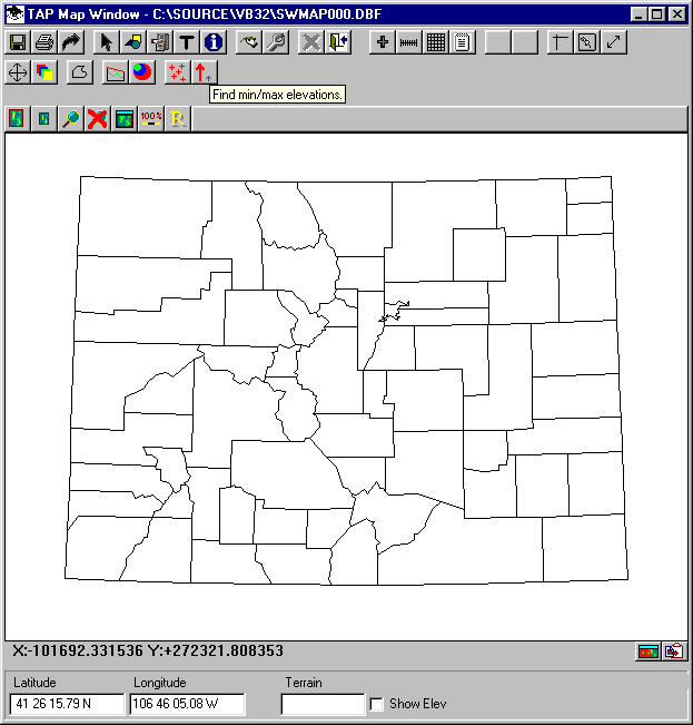
Q: How can I find the minimum and maximum elevation values in an area?
A: In the Shadow Map module of TAP 4.3 and later you can specify an area and search the topographic data files to determine the elevation limits in the area.
With the map displayed, click the Elevation Limits button on the toolbar:
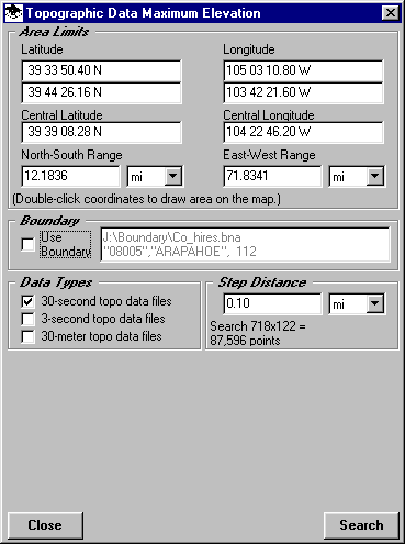
This will display the Topographic Data Maximum Elevation form to select the desired area. You can enter limits or double-click the coordinate limits to define the area on the map with the mouse.
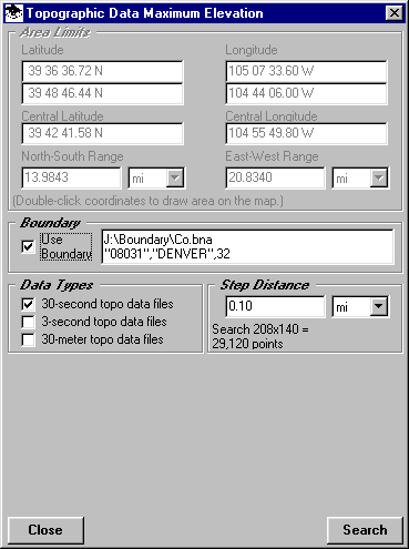
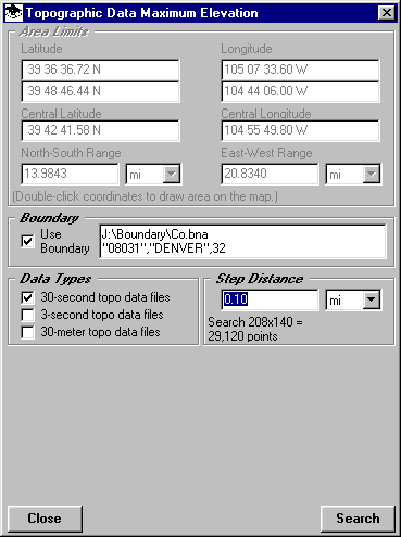
If you want to use a boundary in a .BNA file, check the "Use Boundary" box on the form:
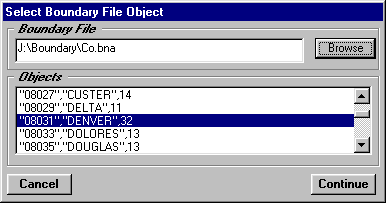
You will be prompted to select the .BNA file. After you select the file, all of the polygon objects in the file will be displayed and you can select the one you want to use:
Note also that the latitude and longitude limits on the form are changed to define the enclosing rectangle around the boundary you select.
Next, select the topographic data type(s) you want to use.
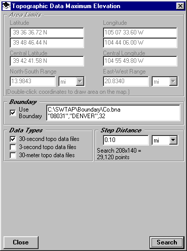
Specify the increment to use in searching the topographic data files.
The smaller the increment you specify, the more detailed the search will be, but also the longer it will take.
Click the Search button to start the search. When completed, the minimum and maximum values will be displayed on the form:
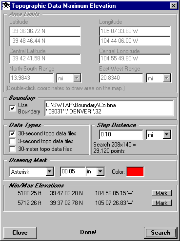
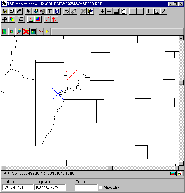
If you want to plot the locations of the point(s), first select the symbol and color you want to use, then click the Mark button. The locations will be shown on the map:
Copyright 2000 by SoftWright LLC