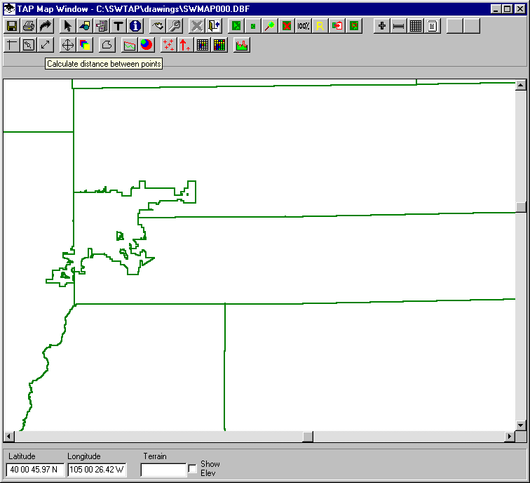
Q: How can I show the path for my system link on a map?
A: If you have the two end-point coordinates for the path, you can show the path on a map using the function to compute the distance between two points on the map.
With a map of the area drawn in the TAP Map Window, use the Calc button (a line with an arrow on each end):
The "TAP Graphic Window Calc" form is displayed:
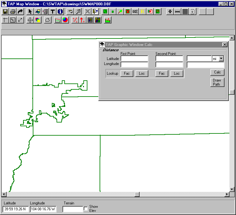
You can enter the coordinates of the end points manually, or you can use the Facility or Location database lookup functions:

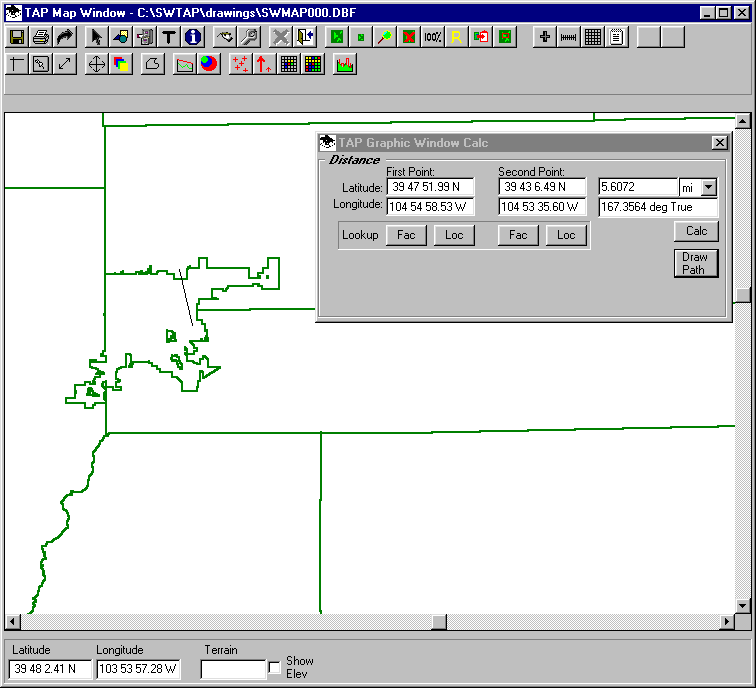
When the sites are entered, the azimuth and distance are computed automatically.. You can click the "Draw Path" button to show the path on the map:
Copyright 2001 by SoftWright LLC