Q: Can I add a scale of miles automatically every time I draw a map using TAP?
A: In TAP 4.3 and later you can use the "Auto Locate" option to draw a scale at the bottom of the drawing whenever you create or change a map.
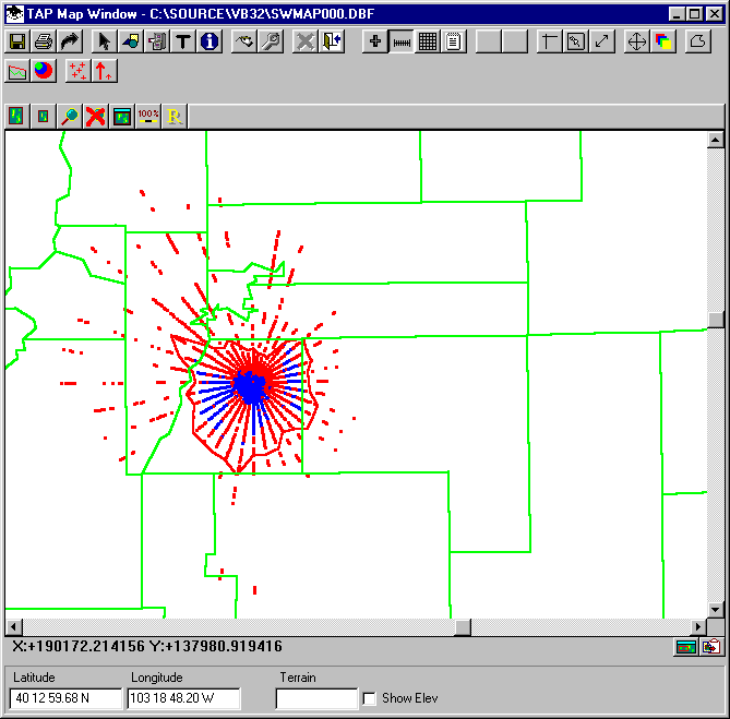
With a map displayed in the TAP Map Window, click the Scale button:
The TAP Scale Properties form is displayed. Check the "Auto locate" option:
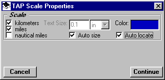
Then click the Continue button to draw the scale.
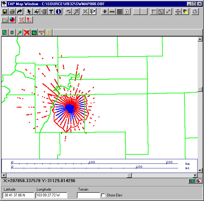
The scale options (kilometers, miles, nautical miles) will be drawn at the bottom of the map:
To disable the auto-locate function, click the Scale button again, uncheck the "Auto locate" option. Then click Continue, and when you are prompted to draw the scale location, you can either draw a custom location, or you can right-click on the map to remove the scale completely.
Copyright 2000 by SoftWright LLC