Q: How can I draw a profile of a path between two map points?
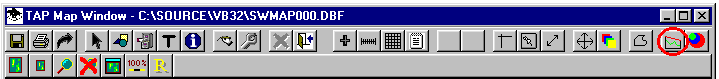
A: When the Map Window is displayed, you can click the "Profile Preview" button to select a path to plot.
(This article describes the TAP4 Profile Preview function. A different function is available for Path Preview if you are using TAP5 (or later) with HDMapper™.)
You will be prompted to click two end points for the path. After the second point is selected, a simple preview of the profile will be drawn.
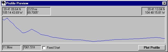
The profile does not include any earth curvature effects, line of sight infomation, axis scales, etc. However it does give a general idea of the topography of the path. If you want a standard profile plot with more detailed infomation, click the "Plot Profile" button. Moving the mouse in the preview window will display the distance and cursor elevation values along the path.
You can continue to click pairs of points on the map to see additional profiles.
If you want to view several paths from the same site, check the "Fix Start" option. When this option is selected, clicking a location on the Map Window will set the target point, and the profile preview will show the path from the same starting location to each of the new points.
Note that the Profile Preview window can be sized and positioned to avoid interfering with the Map Window.
Copyright 1999 by SoftWright LLC