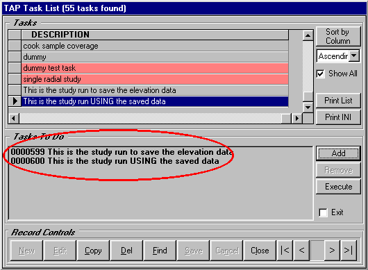
Q: How can I save and reuse elevation data for an area coverage study?
A: For radial and contour studies you can save the topographic elevation data along the radials used from a site, and then reuse the same data for subsequent studies from the same site. (Elevation data cannot be saved for tile studies.)
Normally, TAP retrieves and uses topographic elevation data along radials directly from the topographic data files. However, you can save the data for use later. This is especially helpful if you want to run a preliminary study and save the elevation data, then edit the elevation data to improve its accuracy (using the TAP Elevation Data Editor under the Editors menu), then run additional studies using the edited elevation data.
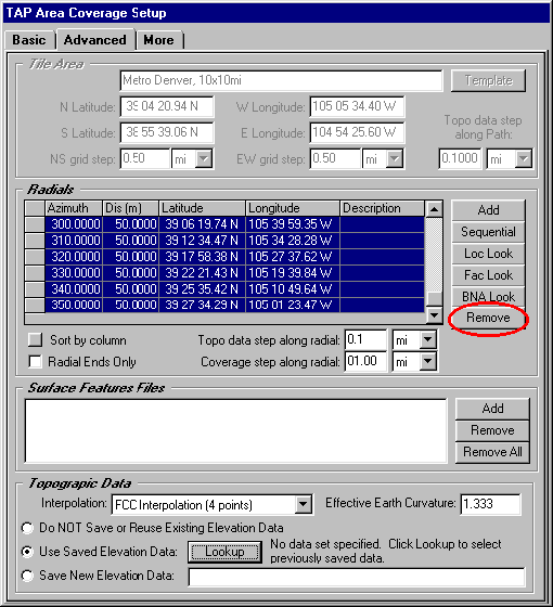
First, on the Advanced tab of the Area Coverage setup form, in the Topographic Data section, select "Save New Elevation Data" and enter a description of the data to be saved. This description will be used later when you want to lookup the saved data.
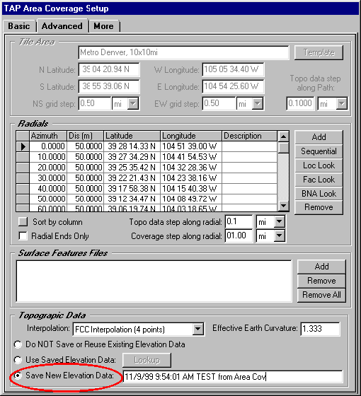
Then run the study. A data base of the elevation values, keyed to the coordinates of the site, will be created.
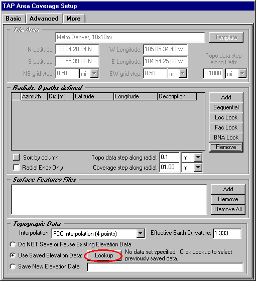
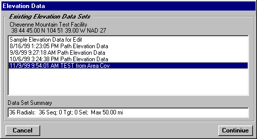
When you want to run a new study (from exactly the same site) using the saved data, go to the Advanced tab and select "Use Saved Elevation Data", then click the Lookup button to find the data you want to use:
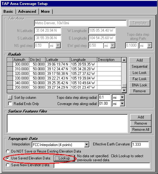
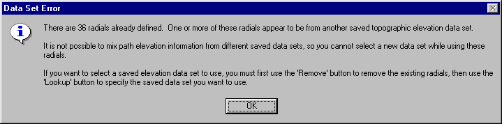
If radial values are already defined, a warning message will be displayed: