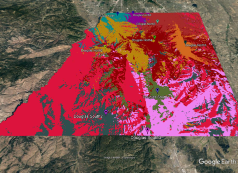
Using the 3D Display Module, it is straightforward to export path profile and area coverage study information to a KML file that can be displayed in Google Earth, ARCGis, GlobalMapper, and other mapping programs. TAP™ offers one-button export of KML files to Google Earth. For large area coverage studies using Tile geometry, it is recommended to “condense” the area coverage study result shapefile before exporting to KML to improve performance in the 3D viewer. See the built-in TAP application help documentation for more details.