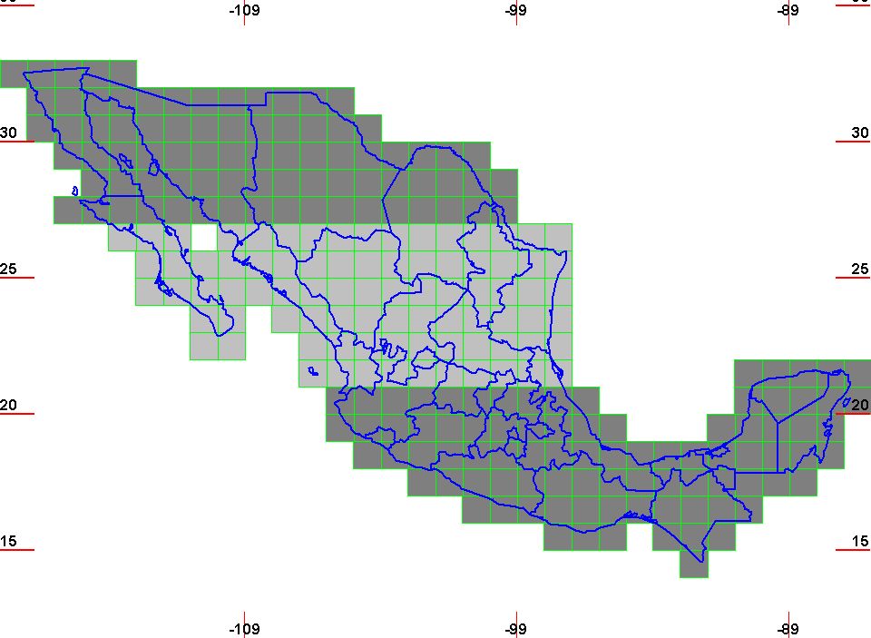
SoftWright offers 1 second resolution, FLT formatted elevation data for Mexico. The data may be purchased for the entire country or by Northern, Central, and Southern regions as shown in the below graphic. Contact SoftWright for the latest pricing and ordering information.