Distance Calculations in HDMapper™
Q: How can I calculate the distance between points on an HDMapper drawing?
A: You can click on a point on the map, and then drag the mouse cursor to another point, and HDMapper will compute the distance and azimuth between the two points.
Click the double-ended arrow button ![]() on the toolbar:
on the toolbar:
This button will stay depressed, and the program will interpret all mouse clicks on the drawing for computing distances. When you are finished computed distances, you can click one of the other buttons (such as the magnifying glass zoom button) to exit from the distance calculation mode.
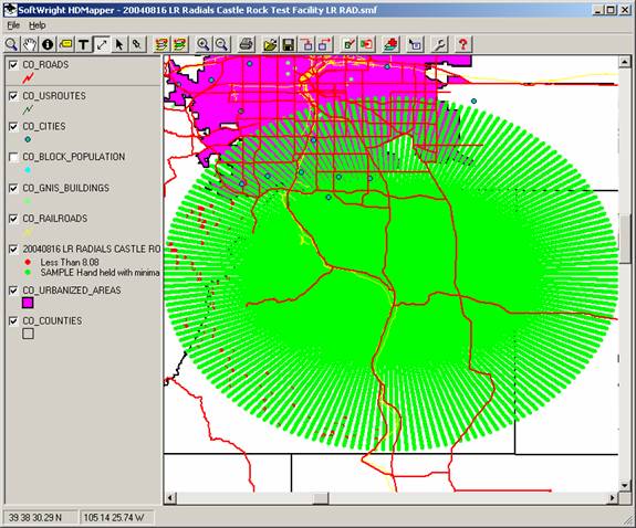
For example, in the radial coverage plot shown above, suppose you want to compute the distance from the transmitter site to the end of several radials. The latitude-longitude shapefile plotting used by HDMapper displays the circular radial coverage as an ellipse. You want to confirm that all the radials are 20 miles long.
First, you can use the Pin function to display the transmitter site on the drawing:

Then click the Distance button. Click the symbol for the transmitter site and drag the mouse cursor to the end of one of the radials.
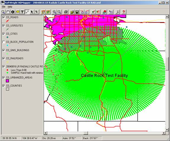
When you release the mouse button, the Map Distance Calculation form will be displayed:
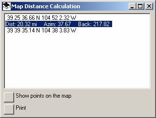
This form shows the distance, azimuth, and back (or reverse) azimuth between the two points.
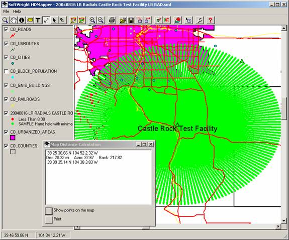
If you want to display the end points on the map, click the “Show points on map” button on the Map Distance Calculation form:
|
|
Copyright 2004 by SoftWright LLC